
ForWarn Researchers Get EVEREST-Sized Look at Woodland Disturbances
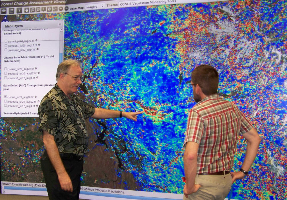 An exploratory visualization facility at Oak Ridge National Laboratory (ORNL) has provided Eastern Threat Center researchers and their partners a unique view of ForWarn maps used for detecting and tracking unexpected forest change and disturbances. In August, research ecologists Bill Hargrove and Steve Norman visited ORNL to meet with partners and analyze “big data” at ORNL's immersive facility called EVEREST, which stands for Exploratory Visualization Environment for Research in Science and Technology. EVEREST turns data into insight by creating depth in detailed images projected on a large, high resolution display screen. Read more in CompassLive...
Pictured: Bill Hargrove, left, and ORNL research scientist Forrest Hoffman use a ForWarn map to examine growing impacts of the Yosemite Rim Fire. Photo by Jitendra Kumar, Oak Ridge National Laboratory
