
Forest ThreatNet
Flying High for Forestry
GIS specialist has unusual view of forest change
By Karin Lichtenstein, NEMAC
 Stephen Creed has a unique perspective of the forest—one that cannot be gained from life on the ground. This is because Creed, an EFETAC geographic information specialist, has spent a lot of time in the air studying the ground below. After receiving a bachelor’s degree in aviation from Louisiana Tech University, he began his career as a pilot and flight instructor, where he cultivated a deep interest in maps and landscape patterns.
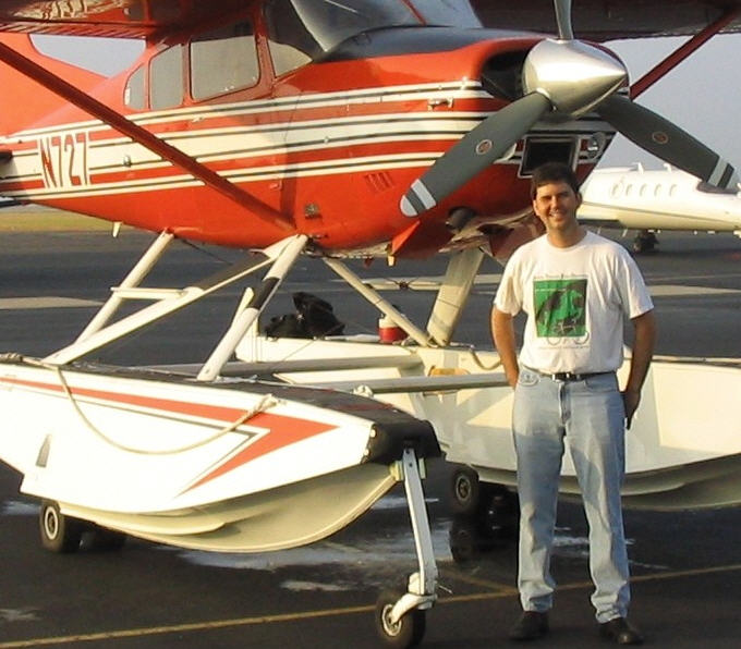
Right: EFETAC geographic information specialist Stephen Creed began his career as a pilot and flight instructor.
Creed explains that “although I had always been interested in geography and maps, working in aviation helped lead me to geographic information systems (GIS). When flying, you constantly relate landscape patterns on the ground with navigational content on maps. I’ve always found this interpretive aspect of aviation fascinating, and after working on some aerial photography projects as a pilot, I became increasingly interested in GIS and remote sensing.” In the fall of 1994, Creed enrolled in graduate school and received a master’s in geography at Southwest Texas State University (now Texas State University) in San Marcos, Texas. His research concentrated on remote sensing and using color infrared imagery to examine the susceptibility of the Kisatchie National Forest to pine beetle attack.
After receiving his graduate degree, Creed joined the U.S. Geological Survey National Wetlands Research Center in Louisiana, where he applied GIS and remote sensing to study wetlands loss and erosion along the gulf coast. He also served as an aerial survey pilot for the center, conducting imagery surveys and studying black bear migration patterns using aerial telemetry and GIS. Several years later, he found himself managing photogrammetric mapping projects for fire and recreation at the Forest Service Southwest Regional Office in Albuquerque, New Mexico.
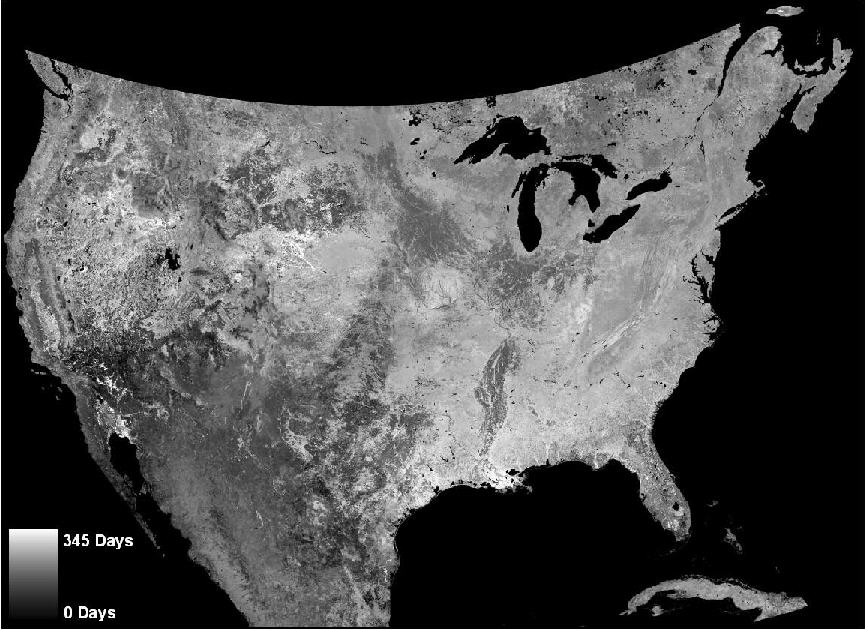 With all of his experience in the sky, it is not a surprise that Creed now collaborates on a project with EFETAC research ecologist Bill Hargrove that uses remote sensing to map forest change across the continental United States. The project uses Moderate Resolution Imaging Spectroradiometer (MODIS) imagery and applies phenology, or seasonal vegetation change, data to forests. Creed explains, “Phenology data allow us to monitor how vegetation responds to climate cycles throughout a given year and then observe how the plants might react differently in following years using change detection.” In addition to detecting forest threats, the data also allow them to determine the day of the year minimum or maximum vegetation activity occurs or how the length of growing seasons varies for a given year or location.
Above: Creed collaborates with EFETAC ecologist Bill Hargrove to map forest change across the United States using MODIS satellite imagery.
“One of the project’s greatest advantages is allowing us to see changes on a broad geographical scale and compare patterns across many regions of the United States,” Creed adds, making it clear his fascination with his “bird’s eye view” of the earth and forest still lingers from his experience as a pilot.
« Previous page Next page » Return to contents
